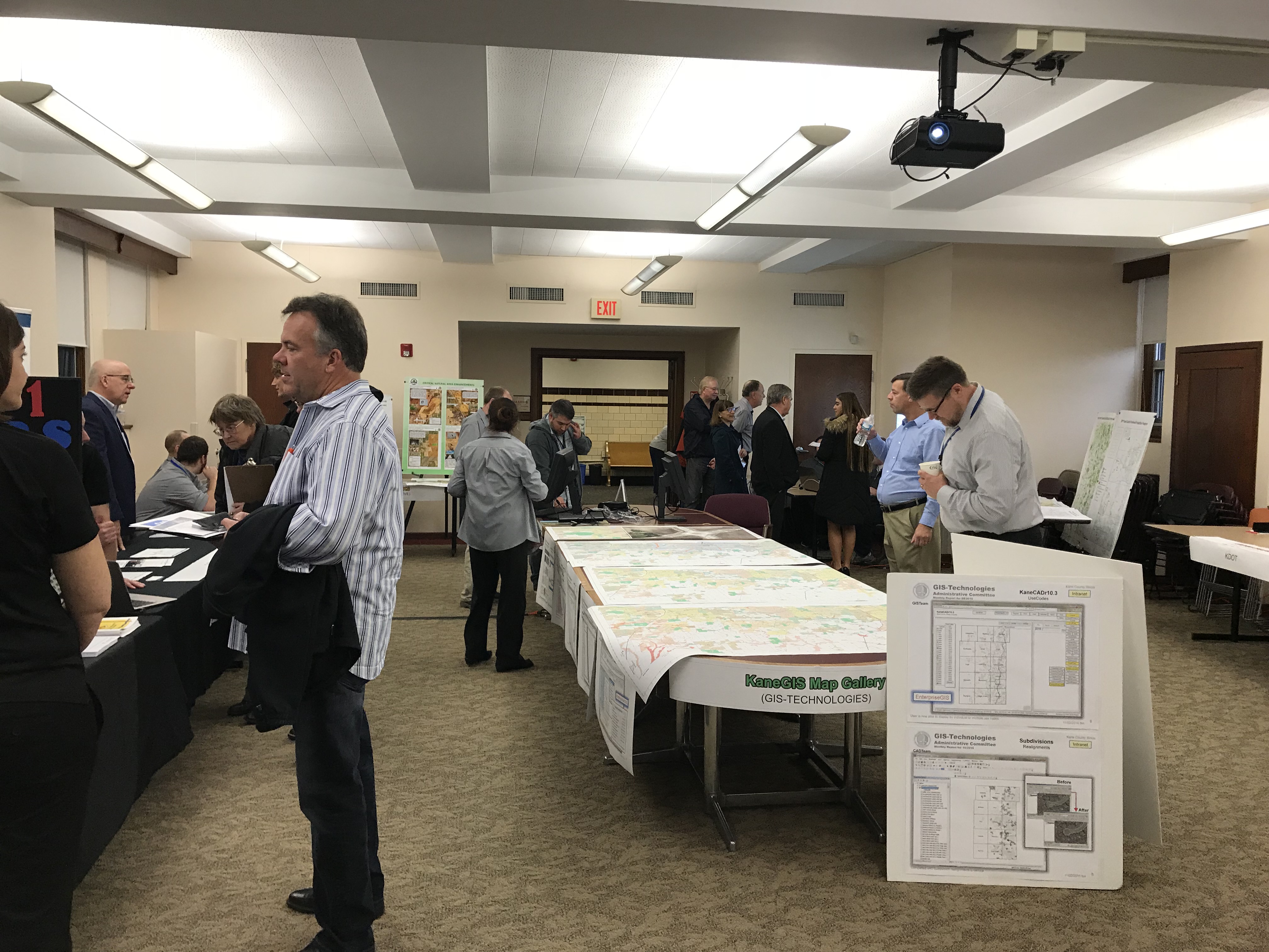
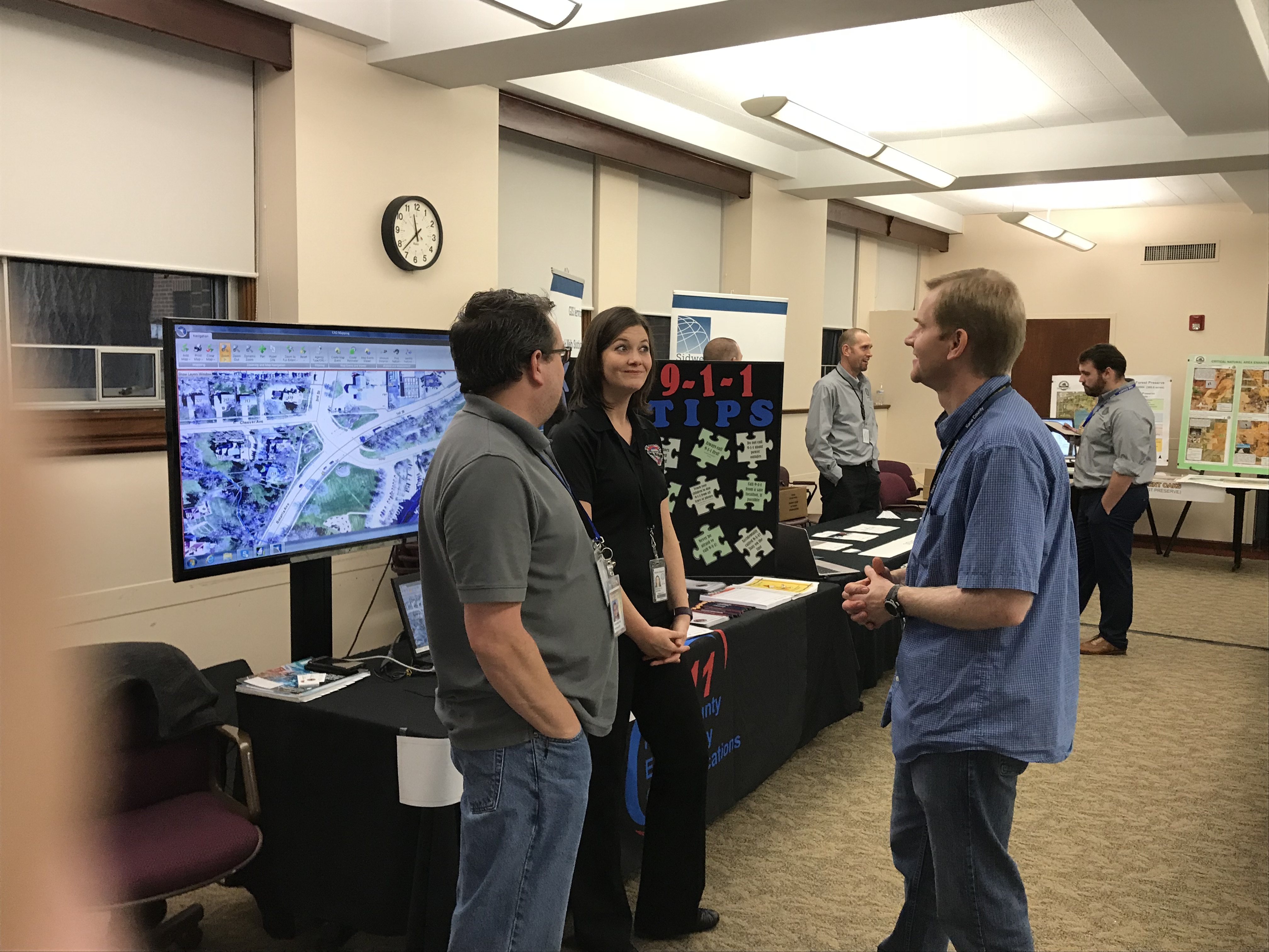
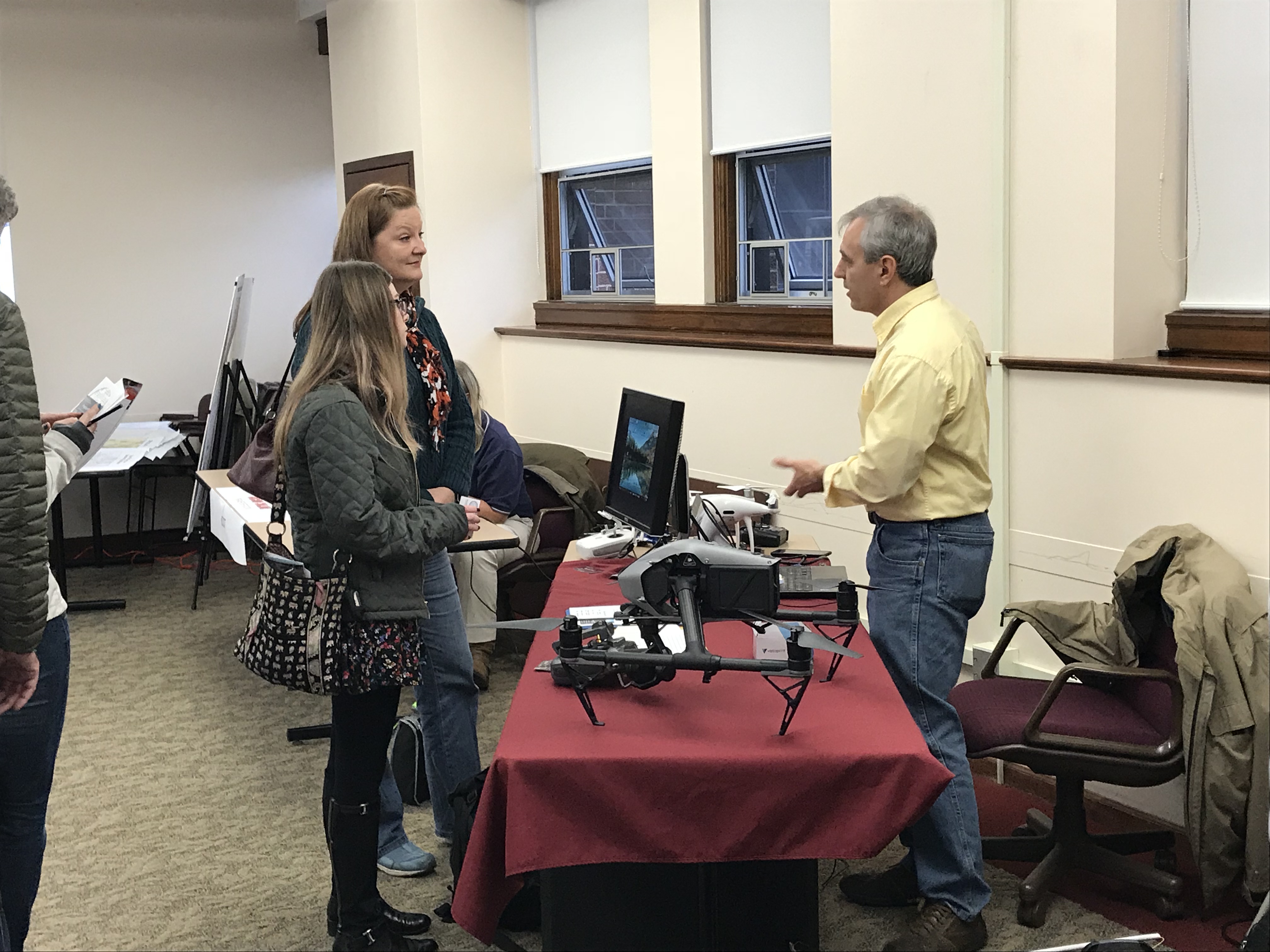
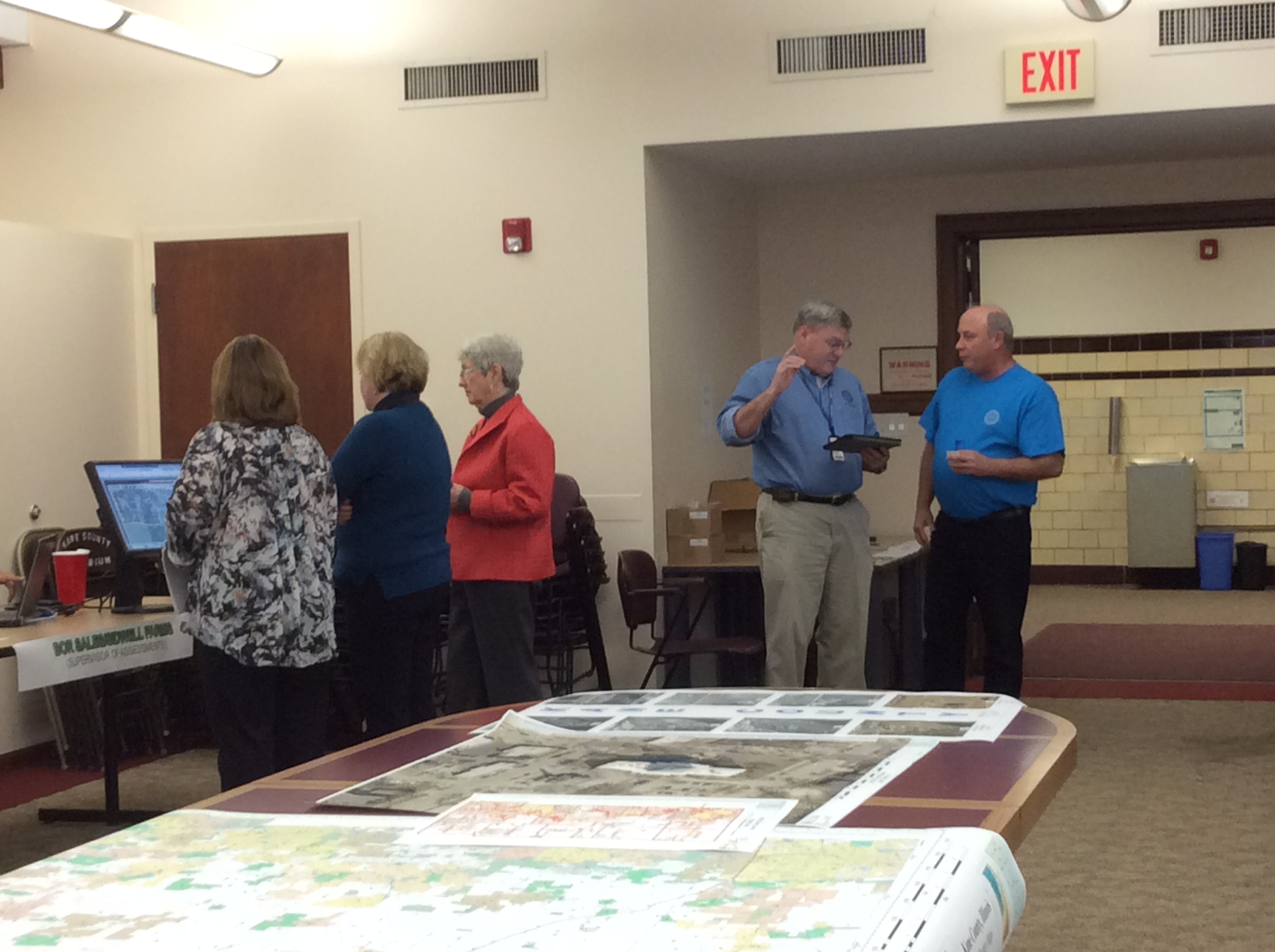
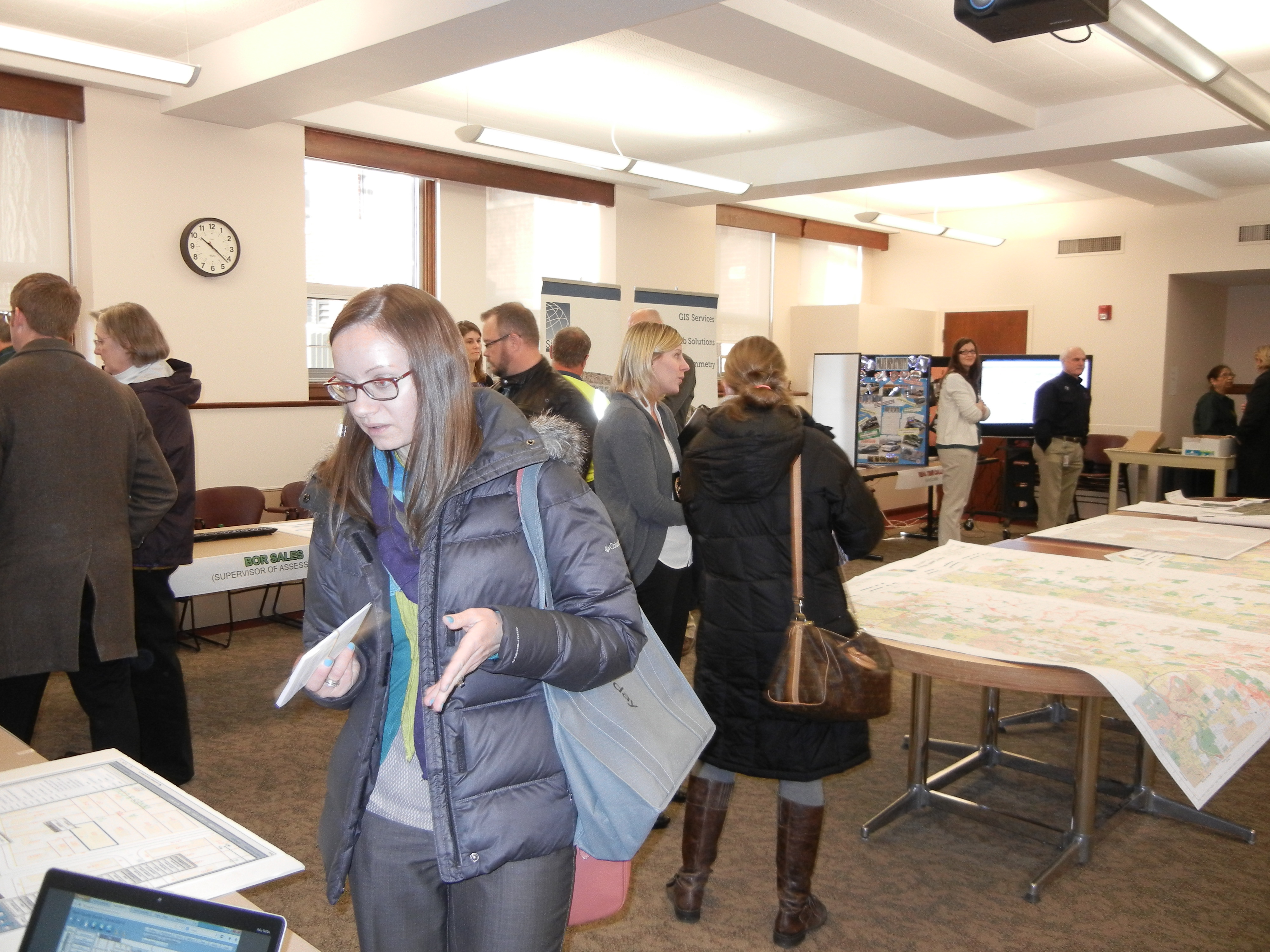
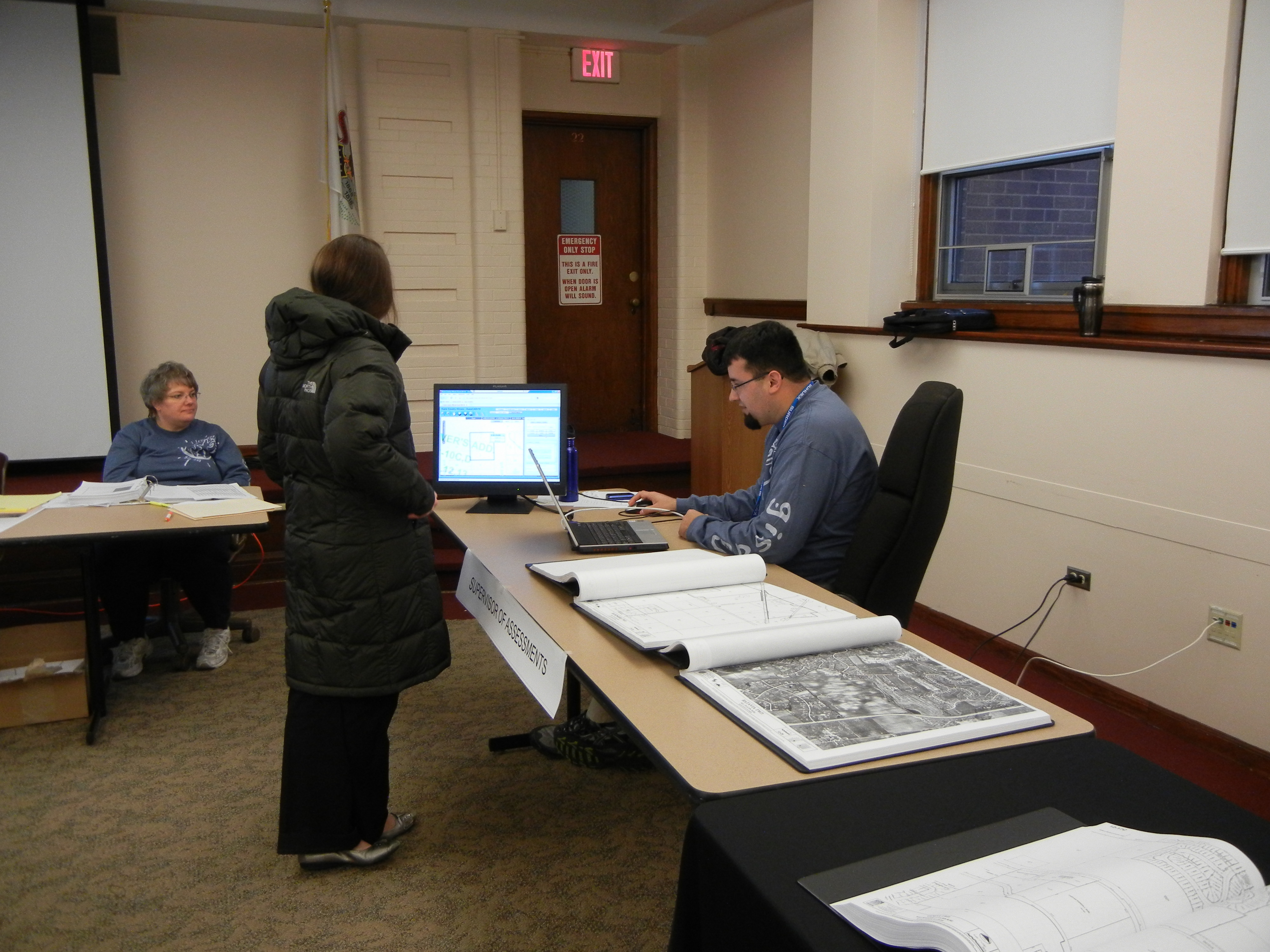
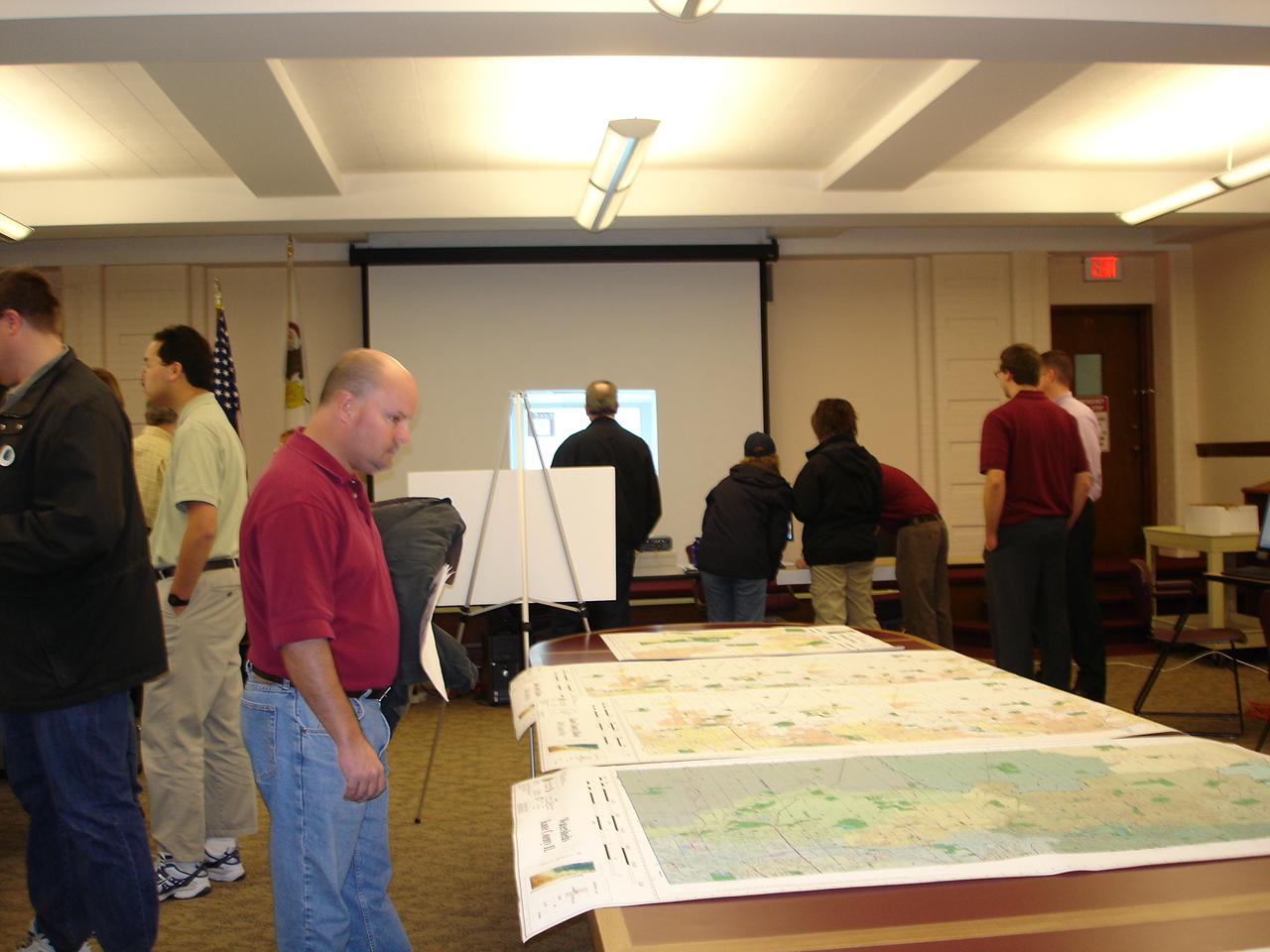
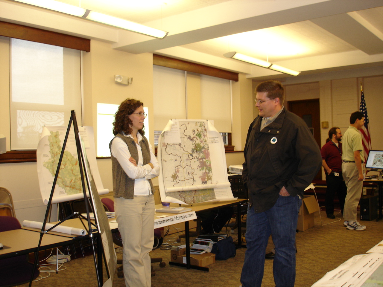
Kane County GISDAY
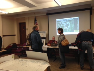
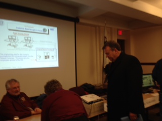
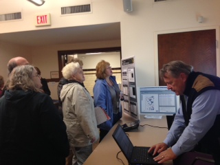
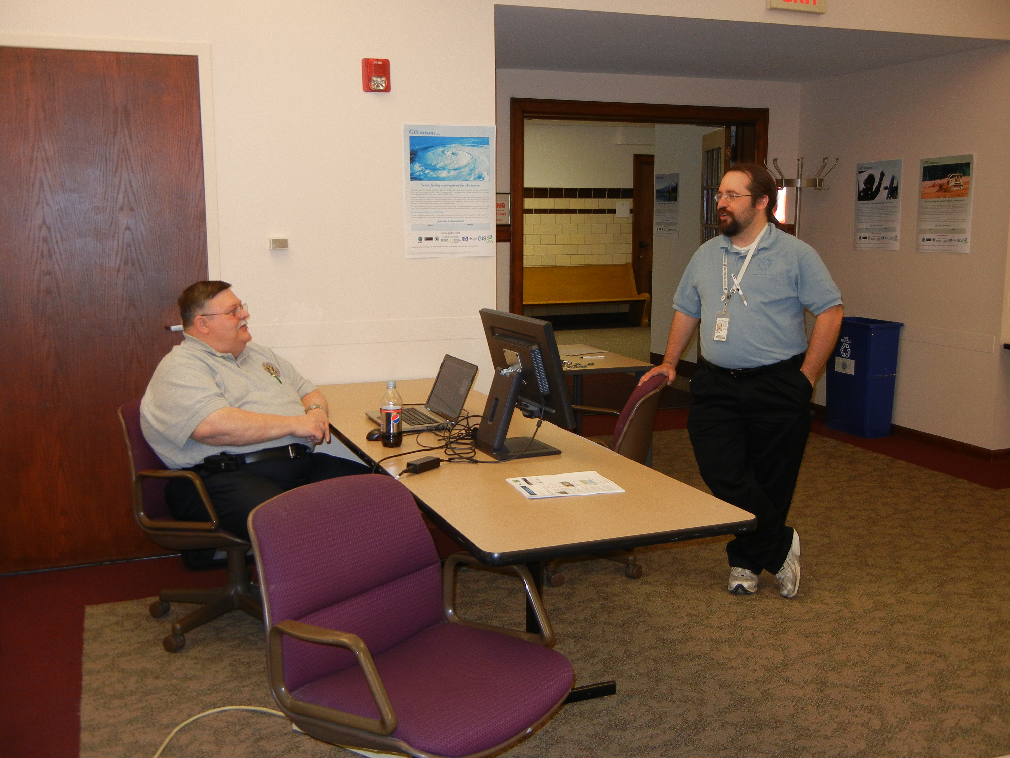
The GIS Technologies Department of Kane County will host their annual GIS Day Open House on Wednesday November 14, 2018. GIS Day is a global event that celebrates Geographic Information Systems or GIS, the exciting and increasingly innovative technology that uses geography to analyze and change local communities and the world at large. Ultimately, GIS Day serves to make people aware of GIS technology and the important contributions it makes to the fields of science, technology, information, and the humanities. It is a grass roots event and a reflection of the enthusiasm and commitment of individual GIS users everywhere.
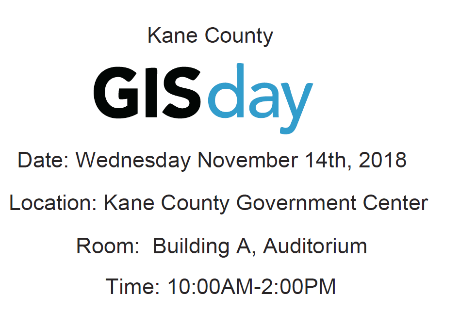
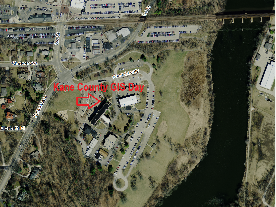
This event will be held in the Auditorium of Building A at the Kane County Government Center, 719 Batavia Avenue, Geneva Illinois. Hours for the open house will be from 10:00 a.m. until 2:00 p.m.
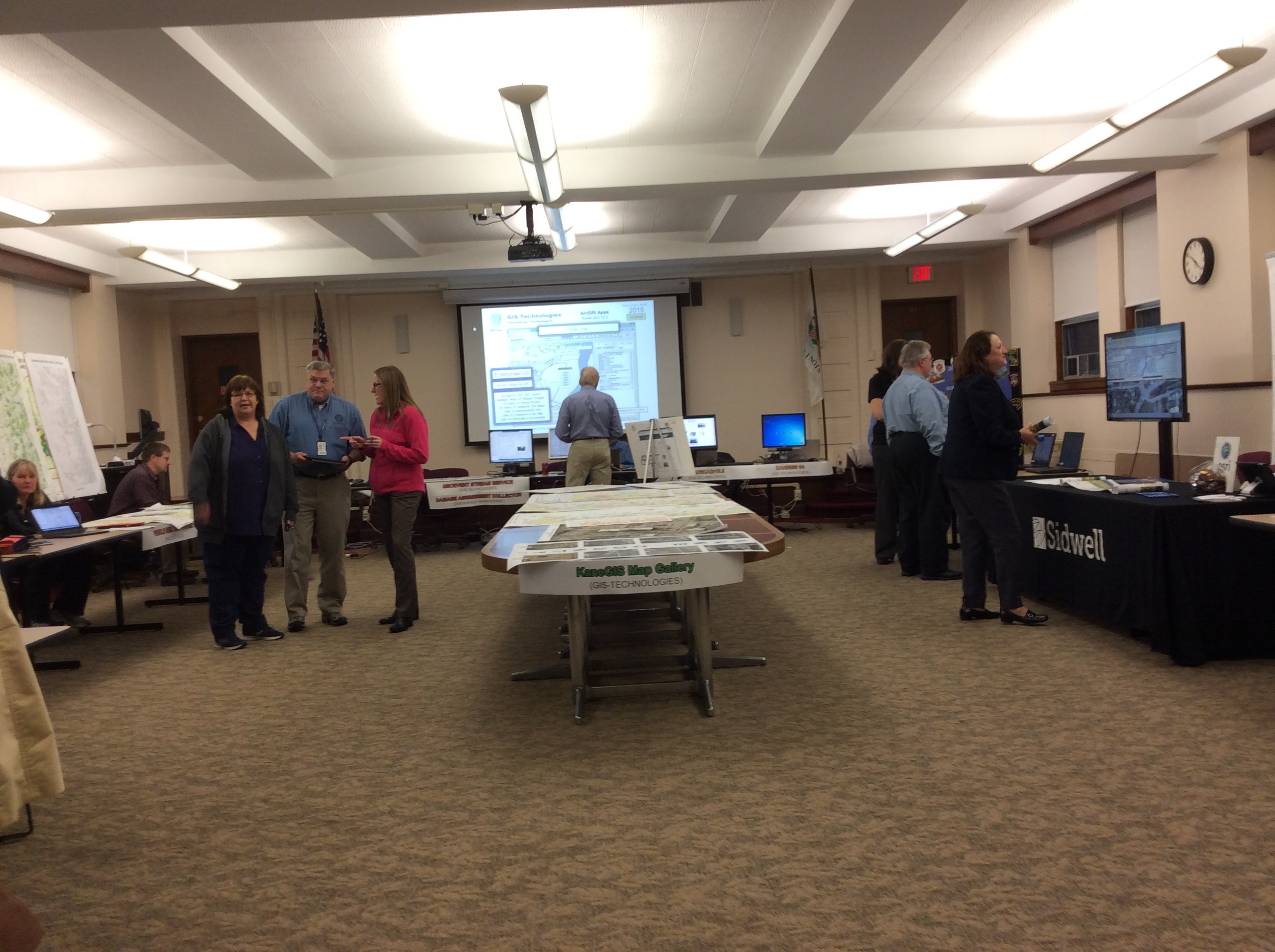
GIS-Technologies
Application to be Showcased:
-EnterpriseGIS
-PublicGIS
-LocalGIS
Information Technologies
Application to be Showcased:
-Visual display of the County's fiber network.
-Election Support (ArcGIS Online Workforce).
Kane County Clerk
Application to be Showcased:
-Tiff District Maps
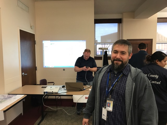
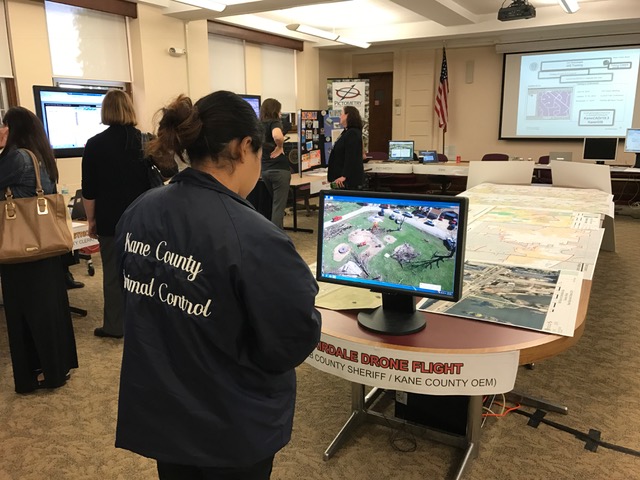
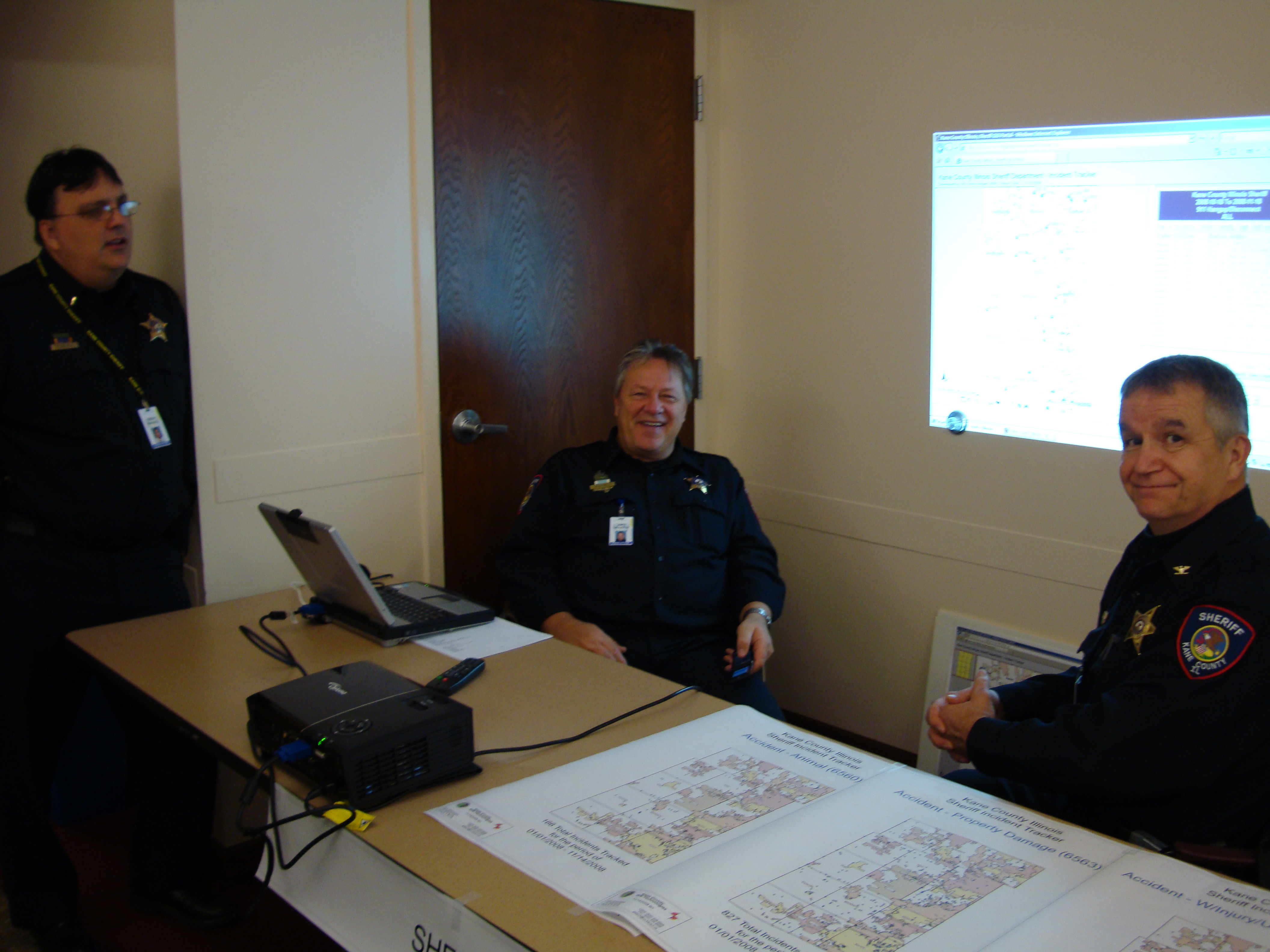
Animal Control
Application to be Showcased:
-Dangerous Animals
Information Technologies
Application to be Showcased:
-Visual display of the County's fiber network.
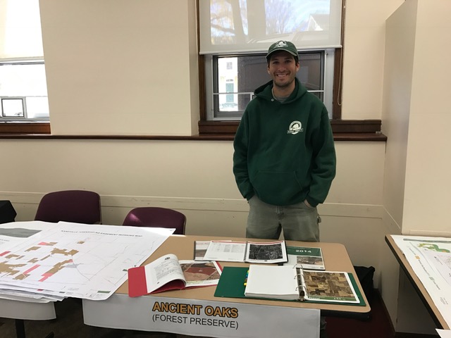
Forest Preserve District of Kane County
Application to be Showcased:
-Ancient Oaks of Kane County
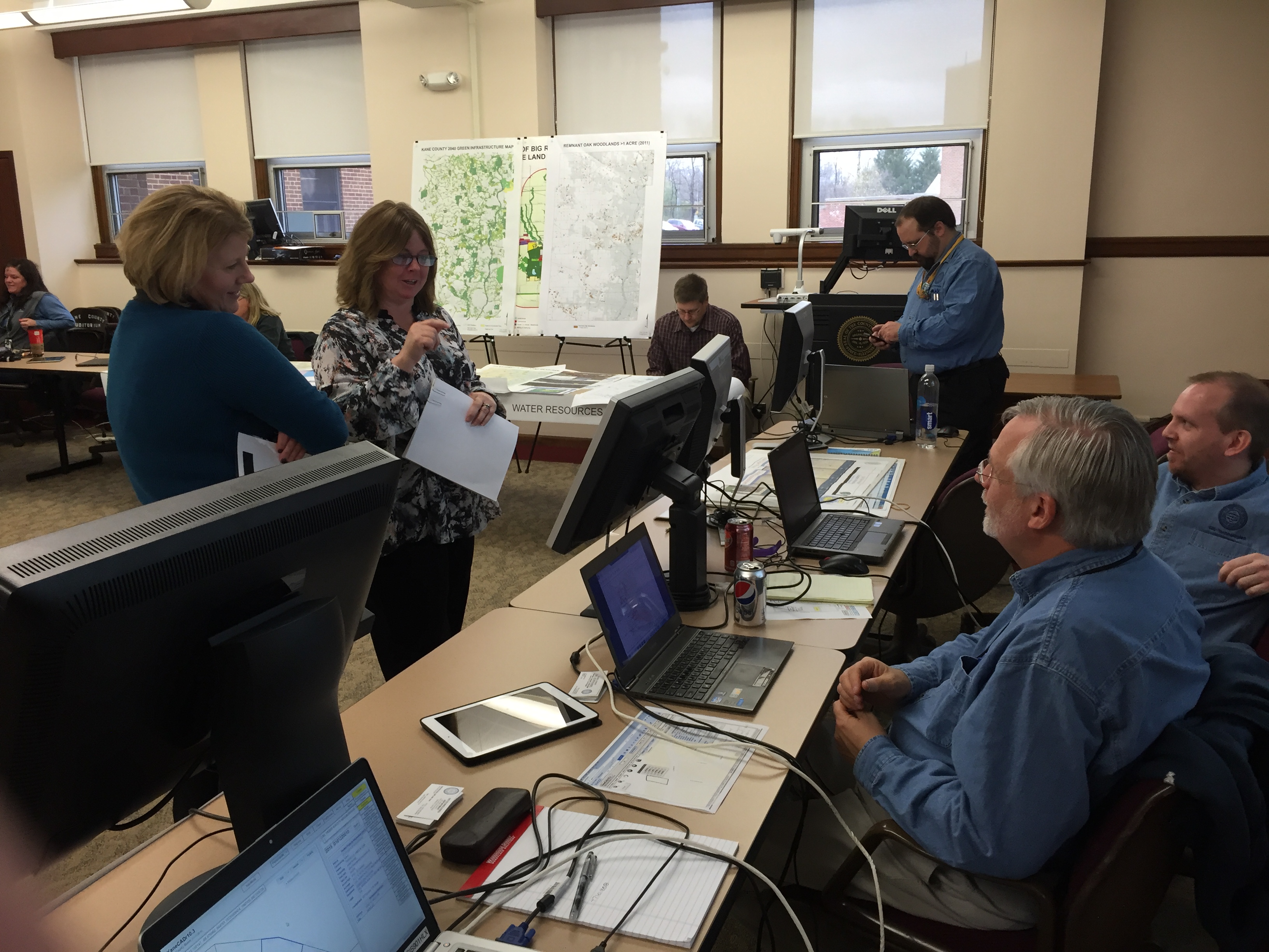
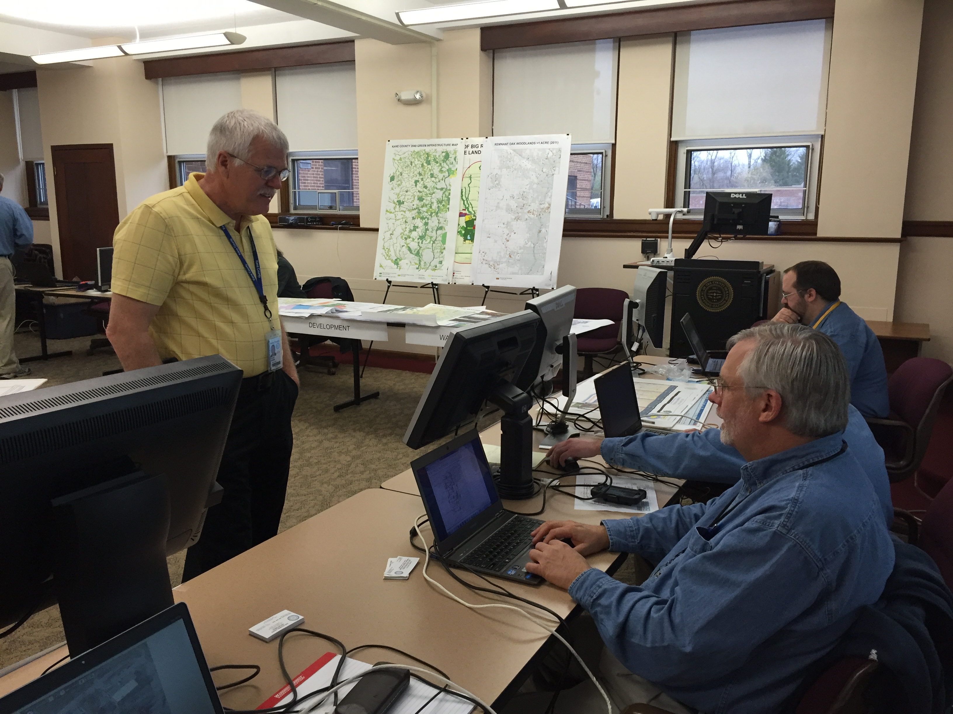
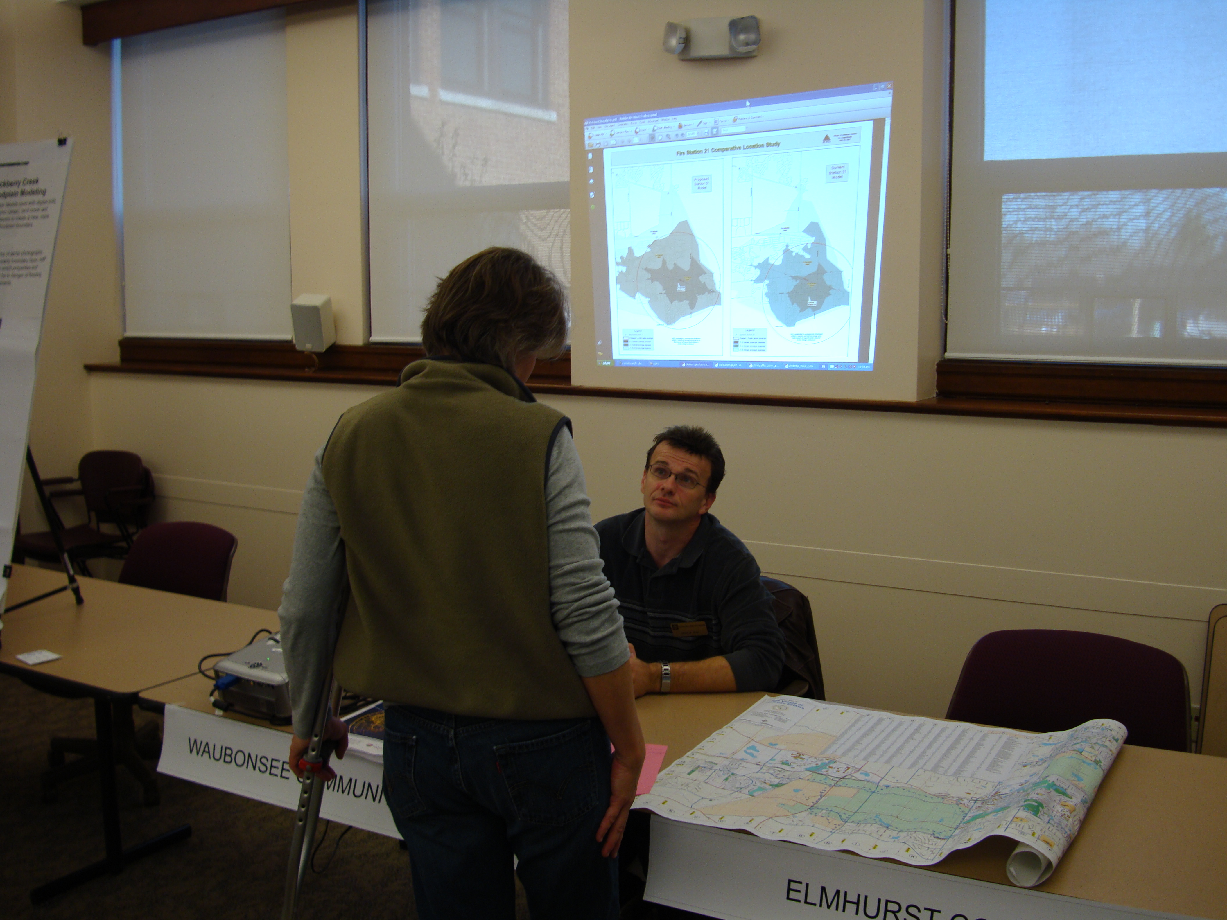
Development
Application to be Showcased:
-General Projects
Water Resources
Application to be Showcased:
-General Projects
Animal Control
Application to be Showcased:
-Dangerous Animals
Transportation
Application to be Showcased:
-Township Highway ArcGIS Online app
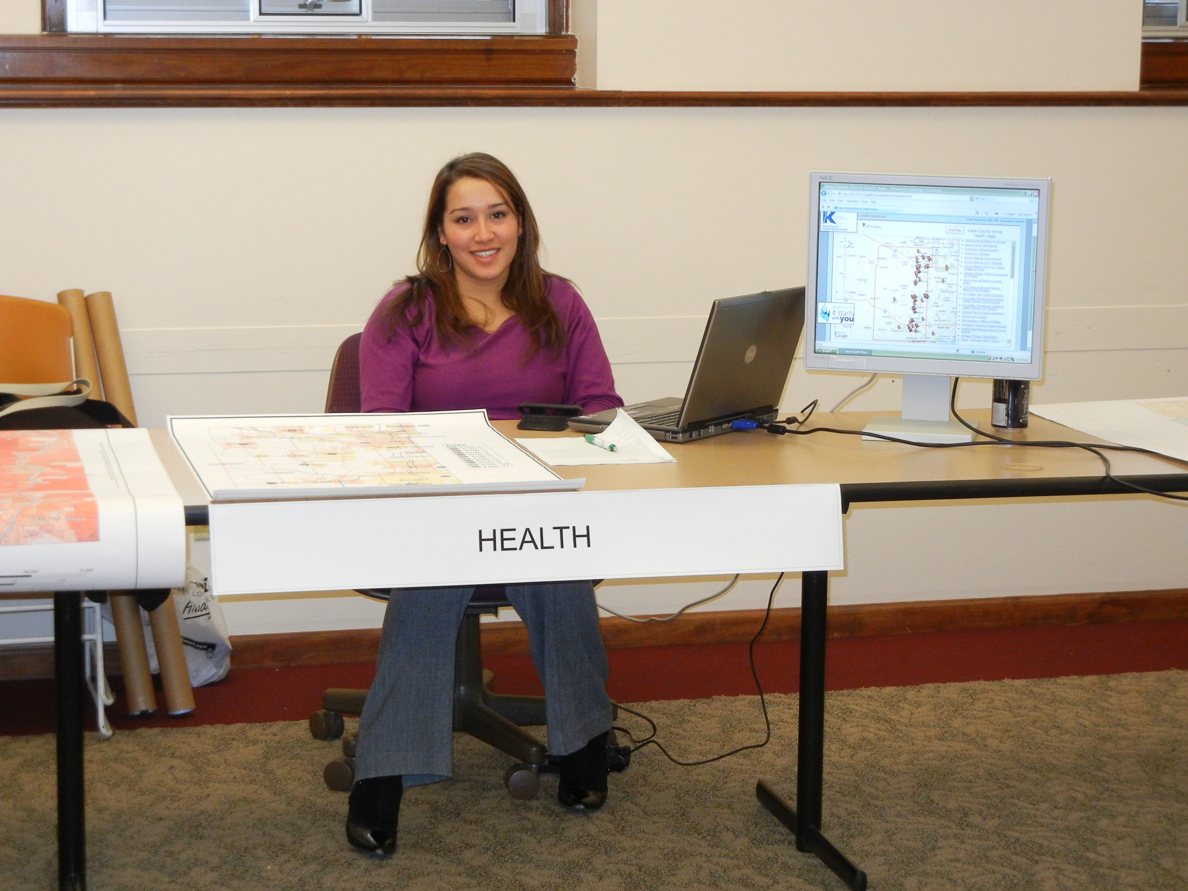
Health Department
Application to be Showcased:
-Farmers Market Story Map
ESRI
is an international supplier of geographic information system (GIS) software, web GIS and geodatabase management applications.
Pictometry
Is an aerial measurement company that develops software that uses three-dimensional aerial photographs to view high-resolution images of buildings in their entirety.
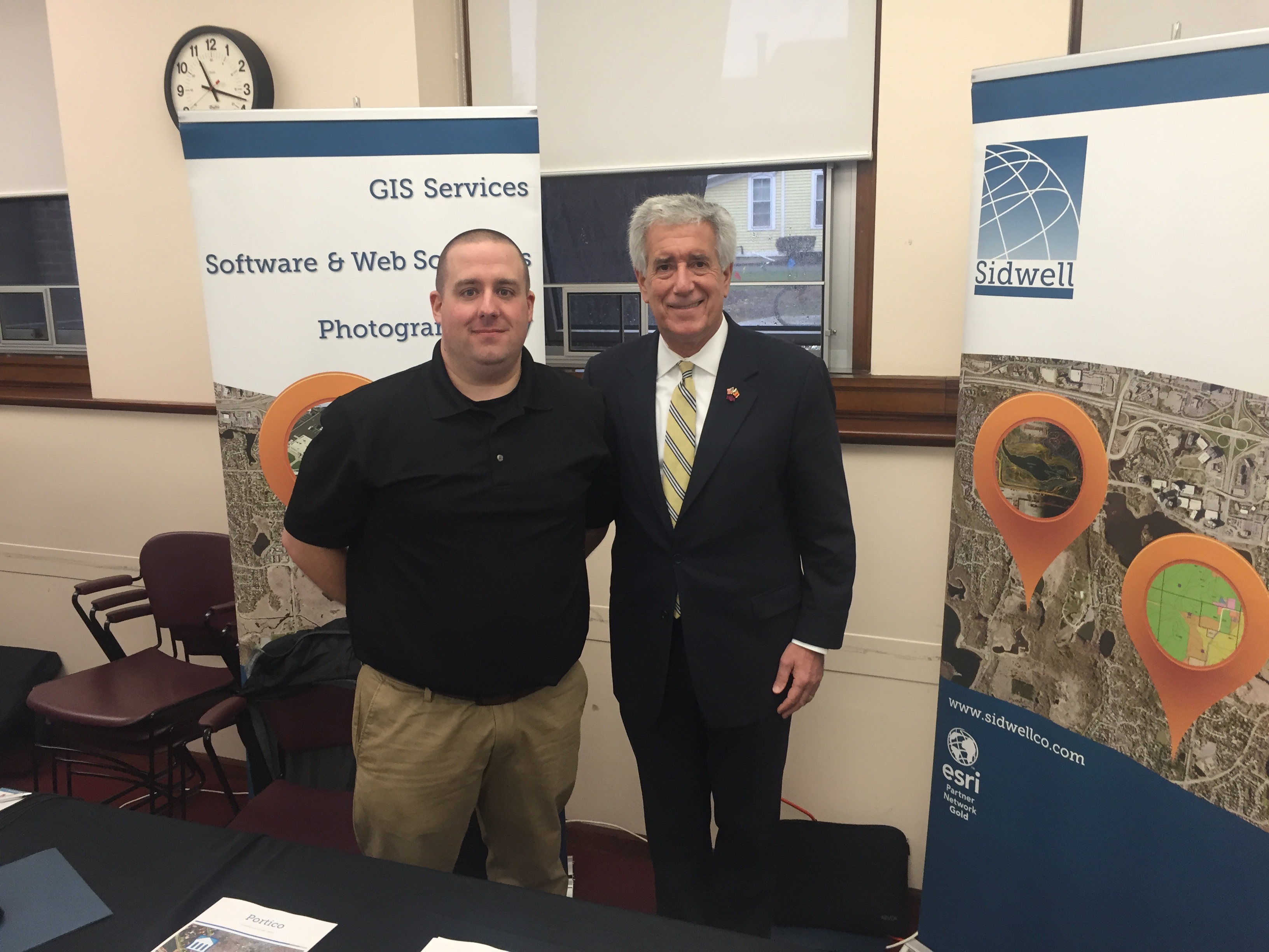
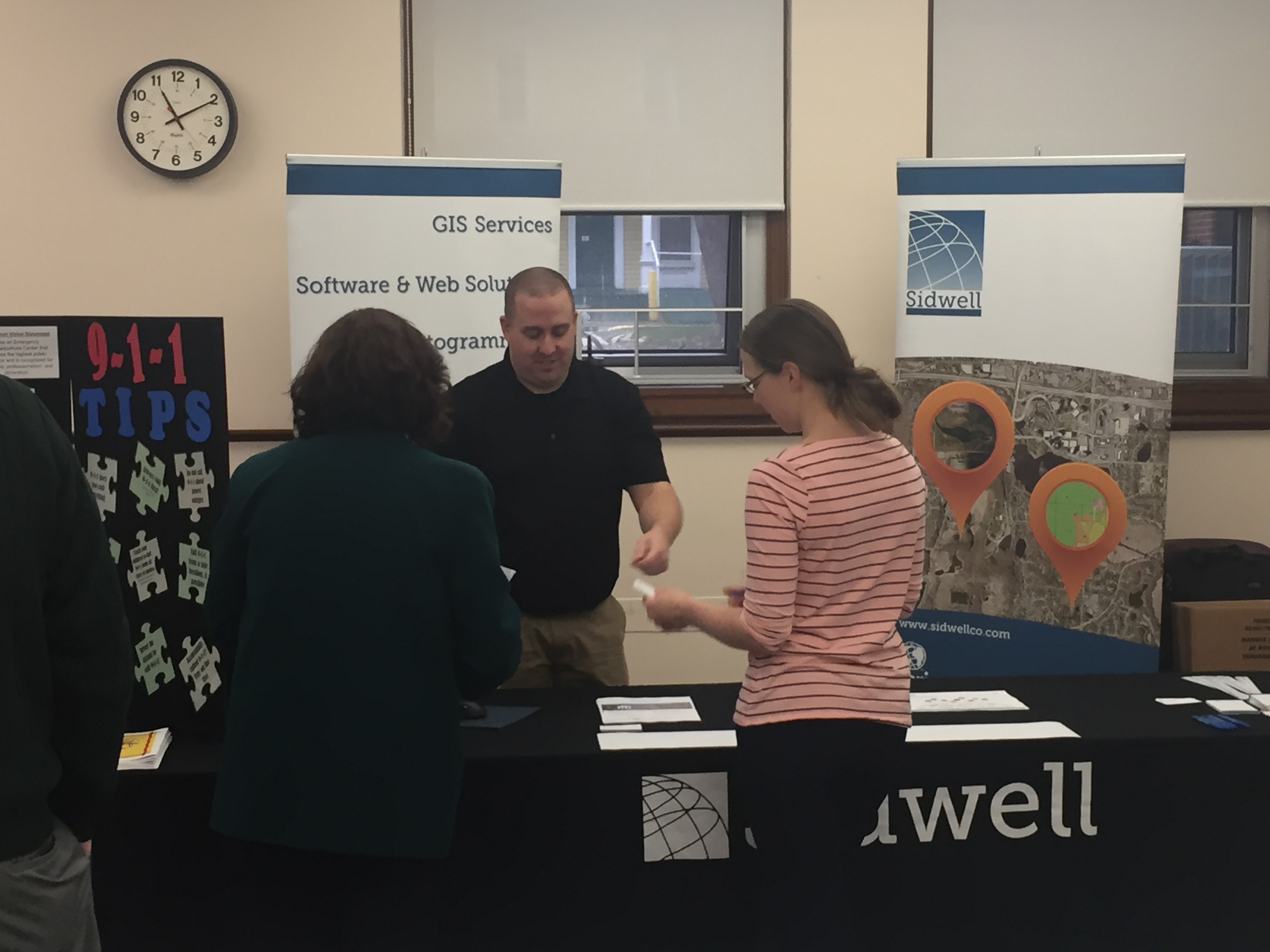
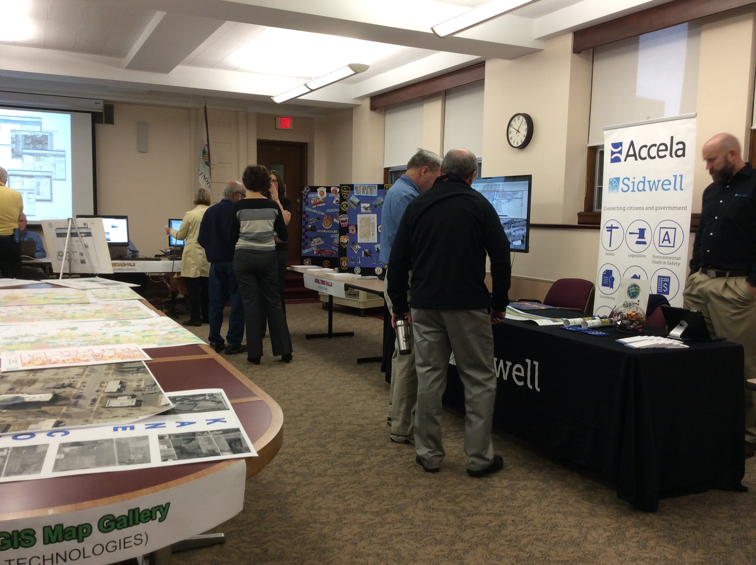
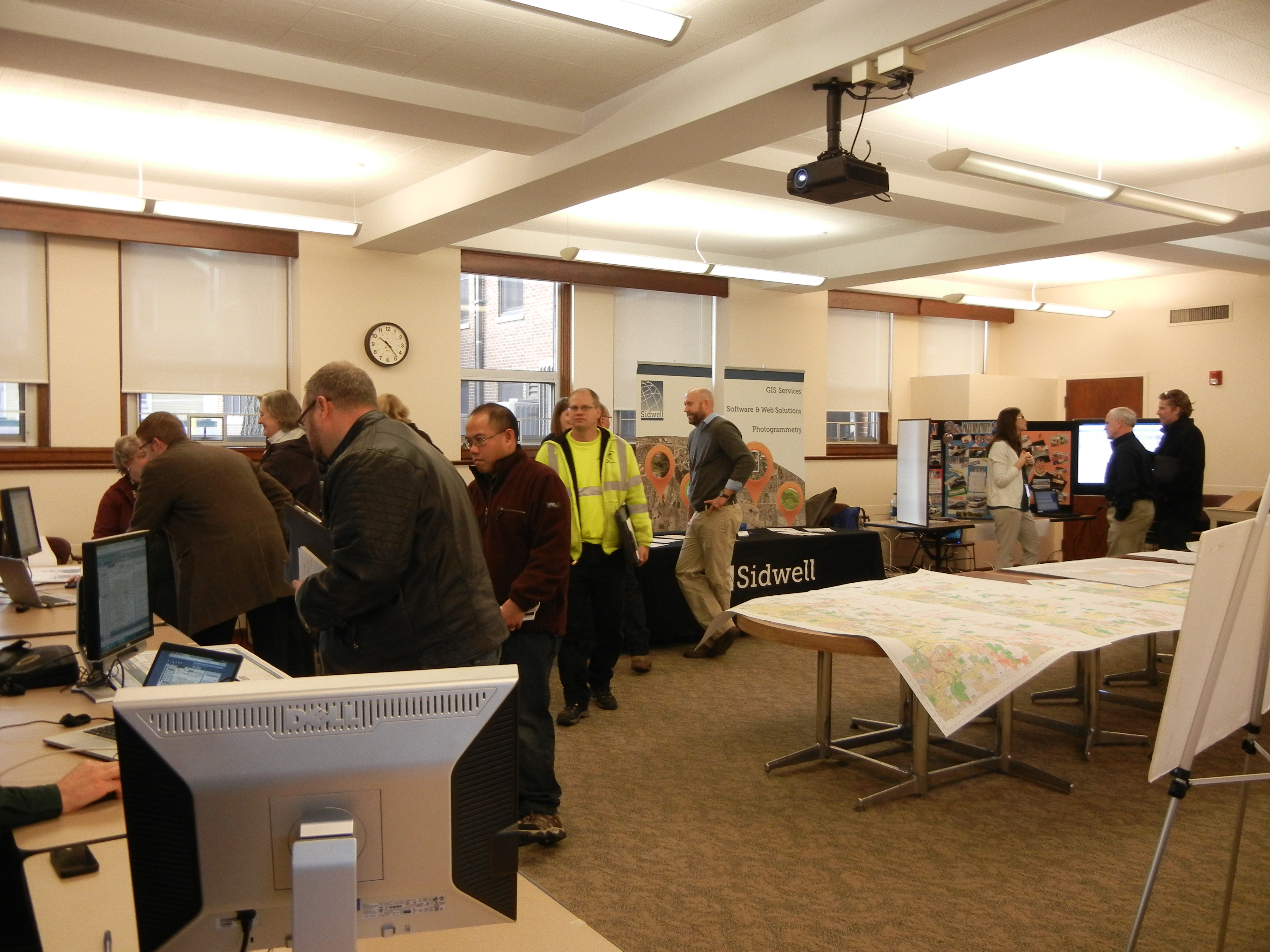
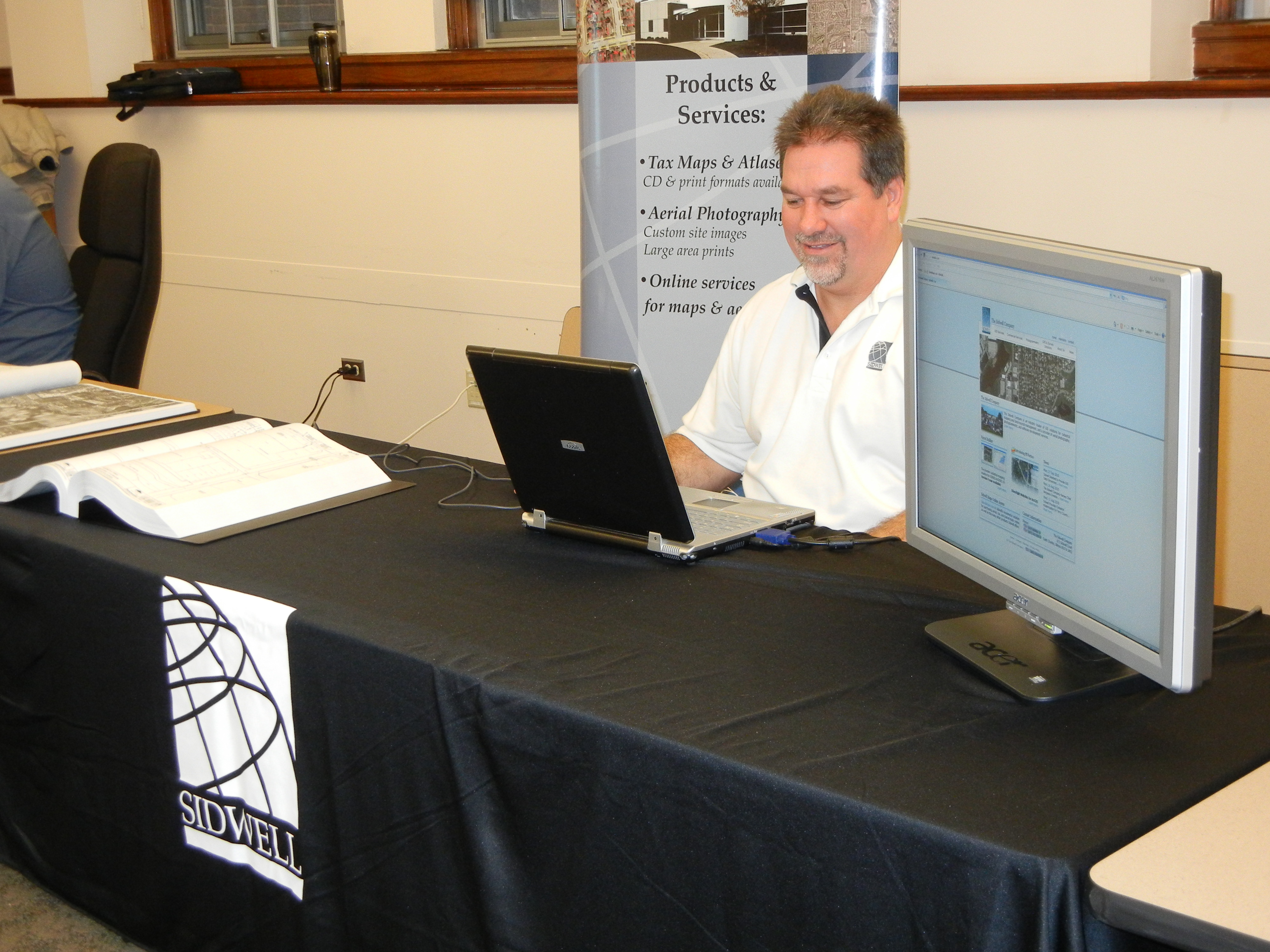
THE SIDWELL COMPANY
Is an industry leader of GIS solutions for local government, municipal, utility and commercial/private sector clients across the US.
CITYVIEW
Kane County uses CityView licensing and permitting software in conjunction with GIS to locate properties through the GIS. CityView interface and quickly view property details to respond to inquiries and get helpful information.
(PowerPoint presentation only. Will not be on site.)
FasterPast
Making You Visible - Faster!